
OneON Climate Change Solution to Control Wildfires
In 2020, USD 12 billion property damaged in California, almost 3 billion animals lost their lives in Australia.
70% of the world’s greenhouse gas emission is from cities.
11-14% cut in global economic output by 2050 due to climate change.
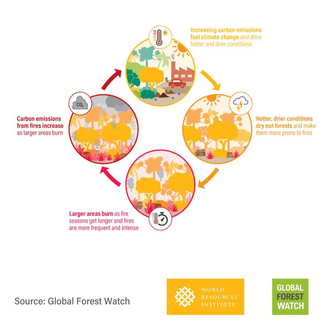
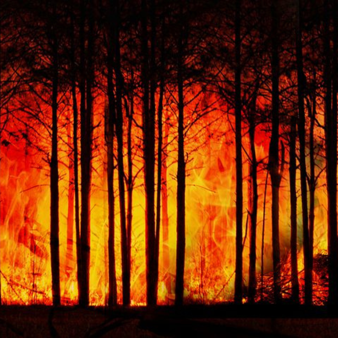
Wildfires release massive amounts of CO2, exacerbating climate change, while climate change increases wildfire risk and intensity.
This creates a self-reinforcing cycle where climate change fuels wildfires, and wildfires accelerate climate change.
CO2 levels, now 50% above pre-industrial levels, may drive global temperatures up by 2.7°C by century's end, intensifying climate-related disasters.

Usage of the satellite images to observe, detect, and report fire events by software enabled AI based architecture.
Real-time streaming image processing from on ground surveillance cameras.
On ground Wild Fire IoT sensors detect Hydrogen, Carbon Monoxide, Carbon Dioxide, Temperature, Wind Speed and Direction, Humidity, Air Pressure and other gases at the ppm level to determine fire incidents.
Mobile reporting and image feeds by first responders, forest rangers, community leaders through various social media channels.
AI and ML are being applied to enhance our ability to react to natural disasters like wildfires. OneON Wildfire prediction provide more than 80% accuracy in predicting wildfire Fire-prone hotspot areas are crucial for assisting fire managers in decision-making.
Prediction model including Machine Learning (ML), statistical analysis to analyse multiple factors that contribute to fire behaviour as weather conditions, vegetation type, topography, and more
Solution brings together a range of datasets to train AI-model to accurately and reliably predict and detect wildfire.
Based on the needs of the Reserve Forest team, we provide customise AI Model relevant to different terrain, location, weather condition.
We have our knowledge partnership with reputed European University specialized in wildfire research.
Water sprinkler drone integration to act as first responder during wildfire incident.
Comprehensive notification channels like telegram, whatsApp, Non-Internet/ areas, it is supported with SMS, low-bandwidth mobile application, to notify all stake holders in the ecosystem.
Programs to involve local communities in and around the forest area to increase awareness about wildfire. Training to use first responder channels to inform systems and help in the mitigation process along with forest officers.
More that 20 years of historical data of fire incidents using satellite image data, weather, climate, terrain are analysed and presented in form of user friendly visualization to forest authorities to take respective data driven scientific measures. It helps to effectively monitor forest, allocate resources to prevent and reduce wildfire incidents and damages.


